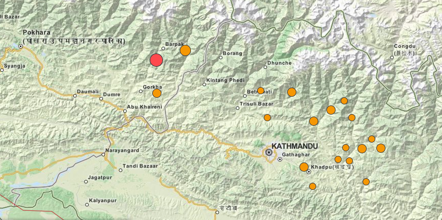
The crowdsourced information field of “crisis mapping” makes a critical difference in the ability of response teams to reach and help victims of disaster. OpenStreetMap and their Humanitarian OpenStreetMap Team (HOT) were instrumental in Haiti after the 2010 earthquake, in the Philippines following Typhoon Haiyan, and in central Africa as the Ebola crisis unfolded, but many volunteers say that the activation in Nepal is the best work they’ve done. With more access to better imagery earlier in the crisis, the work was helped by the fact that Kathmandu was already well mapped.
Much has changed in crisis mapping since the Haitian earthquake. To get the mapping work started, the satellite images are critical and in the Nepal disaster, rather than the aid workers having to reach out to satellite operators, those operators started, almost immediately to reach out the aid workers. DigitalGlobe, a commercial satellite operator, immediately established an open crowdsourced campaign called Tomnod and invited volunteers to help update maps based on the satellite images that were being captured. So far DigitalGlobe reports that over 30,000 volunteers have contributed to the work.
For those who want to help, the OpenStreetMap software is not hard to use. A tutorial for volunteers by developer Peter Richardson is available here.


